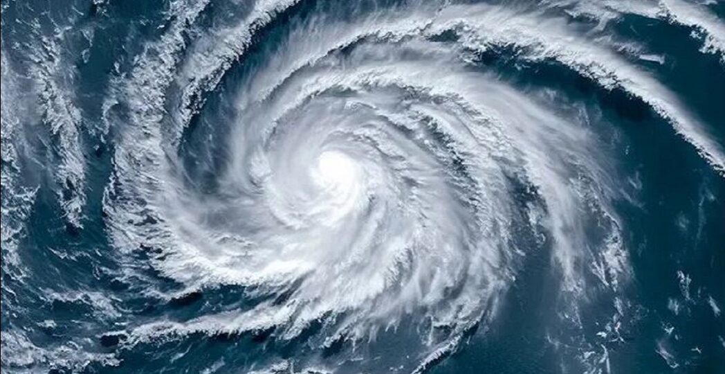
The powerful hurricane beryl is coming towards the ground with great energy, and the hurricane beryl has already become a category-3 jhar, which has been created in the Atlantic Ocean before the hurricane beril has become a ‘very dangerous’ swarm.
The strongest waters are expected to cause an hourly wind speed of 179 to 209 km of the cyclone in the Caribbean region, with the cyclone Beryl in the Atlantic Ocean on Friday.
The US National Hurricane Center (NHC) has reported that Hurricane Beril may hit the Windward Islands in the Caribbean region from early Sunday night, says the NHC, the first hurricane of the 2024 season, about 675 km east-southeast of Barbados.
Meteorologists say the occurrence of a hurricane in the Atlantic in early June is very rare. The weather forecasters predicted that it could take shape, they said, the same wind speed when the hurricane berill hit could reach 179 to 209 km.
The strong hurricane is likely to cause massive damage and loss of life in the region, fearing cyclone rampage, with the highest alerts issued in Barbados, St.
The US National Hurricane Center says that the islands can receive up to 15 cm of rainfall in these islands, which can cause the tidal level in the islands to rise 6 to 9 feet compared to normal.
Hurricane Beryl may first strike the East Atlantic Ocean in the Windward Islands, which then leads to Dominica, Martinique, St. Lucia, St. Vincent and Granadaines and Granada. The coastal area is the second storm of the current season in the Atlantic Ocean after the tropical storm Alberta, with heavy rainfall as well as the waves.
According to weather experts, the Atlantic Ocean Lagotta region is hurricane from June 1 to November 30. They have reported that several hurricanes may hit the region this year. Earlier, weather experts warned that at least 25 storms may hit in 2024.
8 to 13 of these hurricanes The chances of becoming mature are the weather, which is causing frequent hurricanes in the region due to the temperature of the sea temperature recording warmer.


